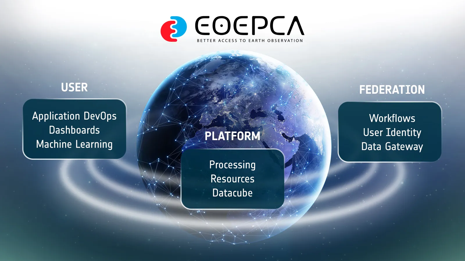
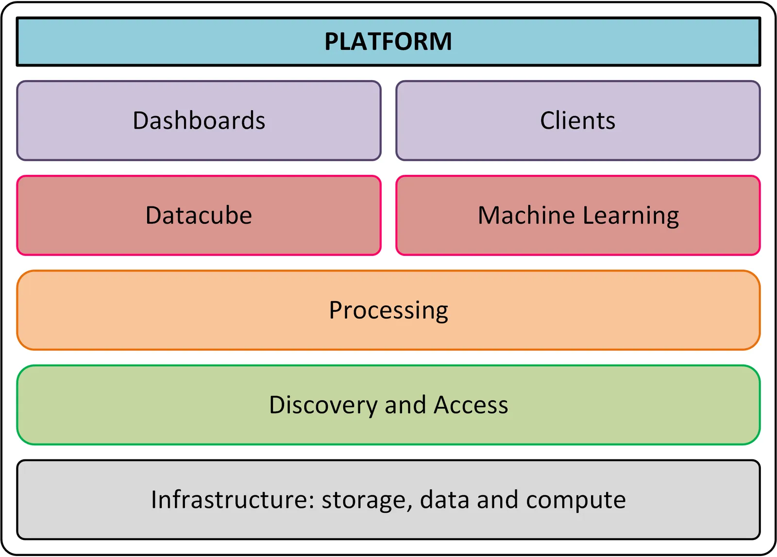
Many web-based platforms provide access to satellite Earth Observation (EO) data, now often combined with cloud computing resources and applications. Users benefit from the ability to process data remotely, bypassing traditional download and storage limitations. Our vision is to enhance interoperability between these platforms to create an open network for seamless data access. To achieve this, we are establishing best practices for EO exploitation platforms based on open standards and developing a reference implementation of building blocks as free open source software. This project is sponsored by the European Space Agency (ESA), with it's first iteration, EOEPCA, starting in 2018, and it's second iteration, EOEPCA+, starting in 2023, and aims to demonstrate the architecture and software in operational platforms.
Unifying the fragmented cloud ecosystem for Ground Segment, EO Science, R&D, and Applications.
Enhance interoperability between cloud-based data platforms for an open network of resources.
Enabling federation amongst EO cloud platform options by offering reusable Building Blocks for tailored environments.
Press Releases


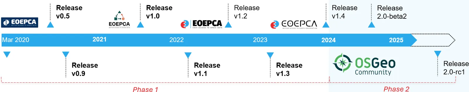
Project Timeline
EOEPCA: Phase 1
A groundbreaking journey from project inception to system release v1.4 inclusive (September 2023). This pivotal phase laid the foundation for our success, marked by two transformative milestones:
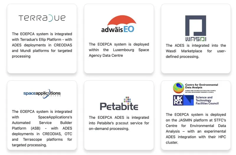
- Widespread adoption by operators, successfully deploying the system across multiple platforms
- Seamless integration of the ZOO-Project, a critical component that powers EOEPCA's core functionality
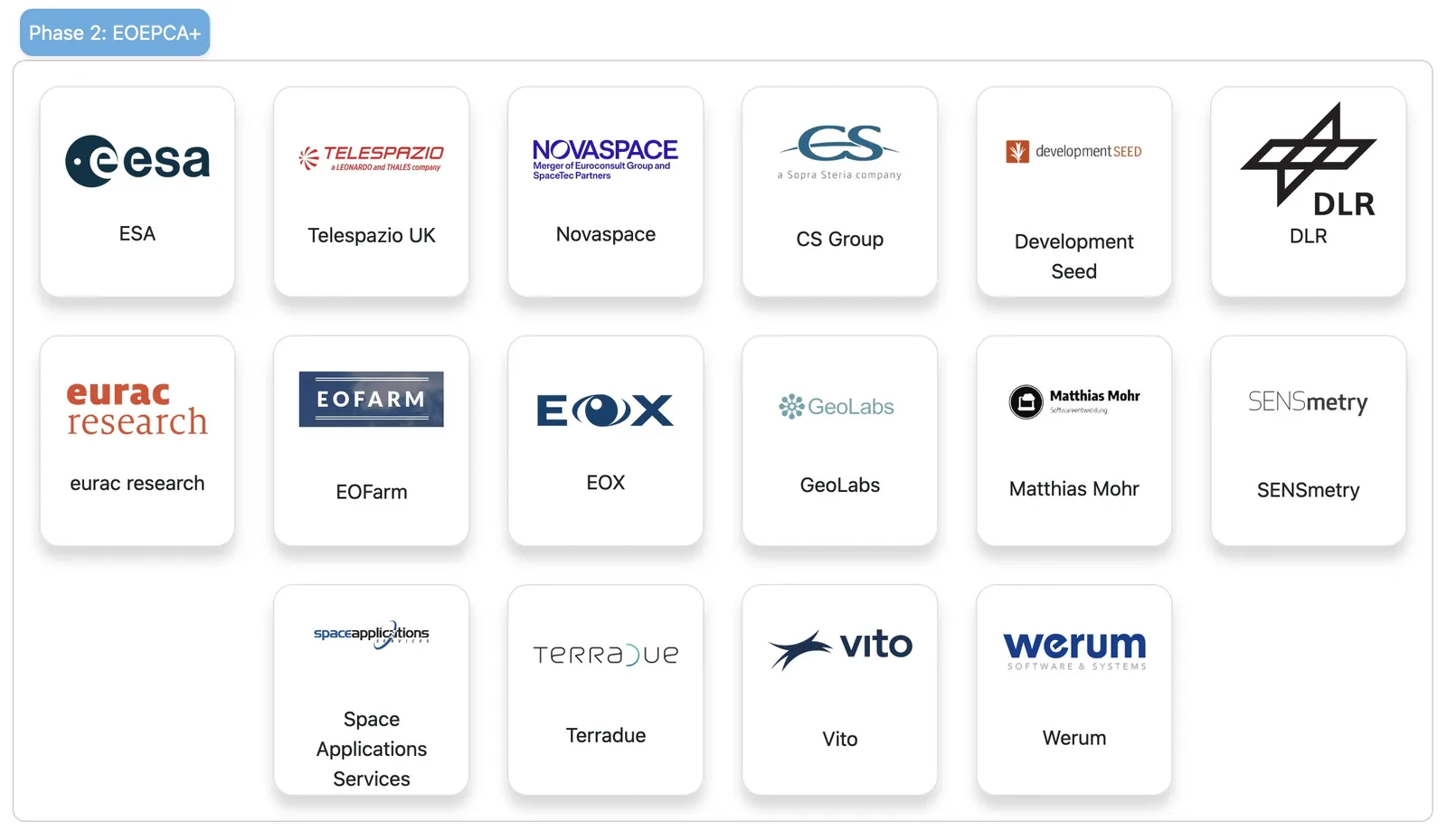
EOEPCA+: Phase 2
An exciting new chapter with a new architecture and development team. This phase will include all future system releases beyond the current v1.4.
- Achieved prestigious OSGeo Community Project Status accreditation
- Expanding our reach to engage with a broader, global audience
- Fostering strategic collaborations with leading organizations and stakeholders
- Empowering the geospatial data community to optimize workflows and achieve ambitious research goals